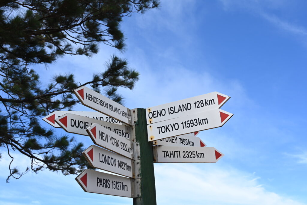
Surf to Sand – French Polynesia to the Atacama – At Sea – Day 17 can be found here.
Today’s Chronicle can be found here.
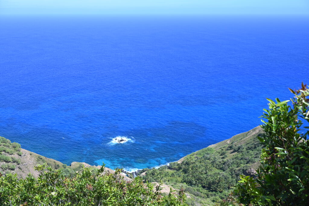
Up at 6:40 am this morning, and we carried on through breakfast with bated breath – watching both Pitcairn Island and the pounding swell through the windows of La Terrazza:
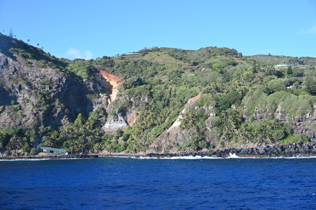
The bustling metropolis of Adamstown
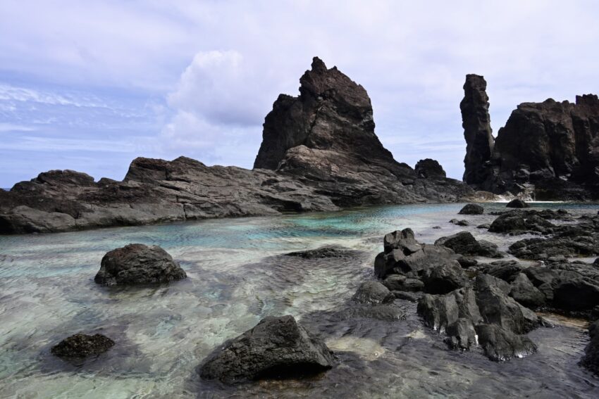
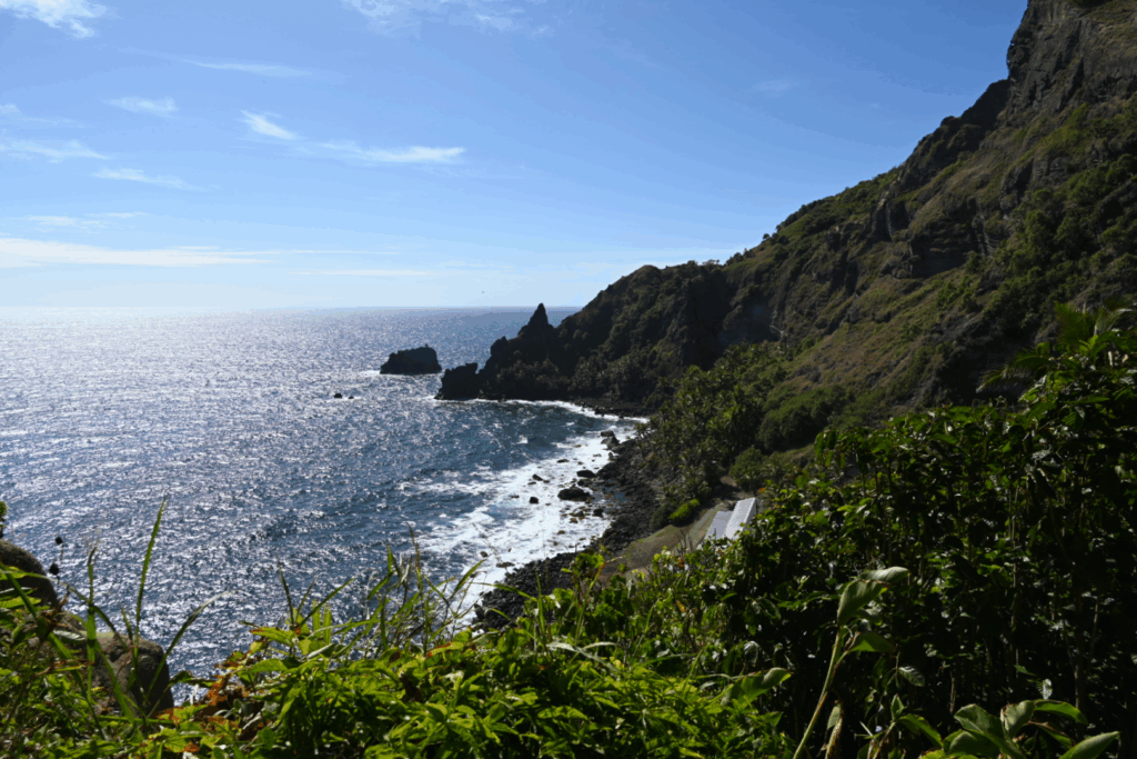
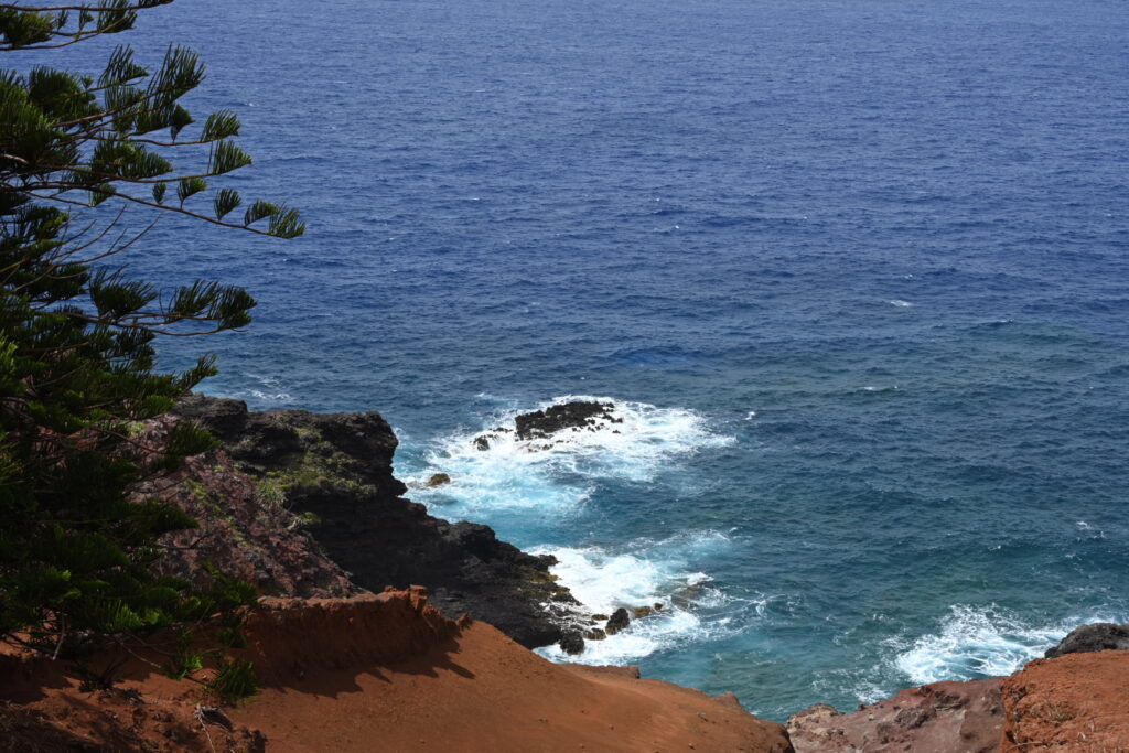
Waves crashing against the shoreline beg the question – will we be able to land?
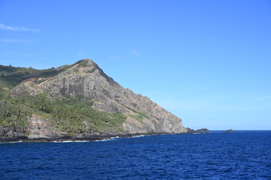
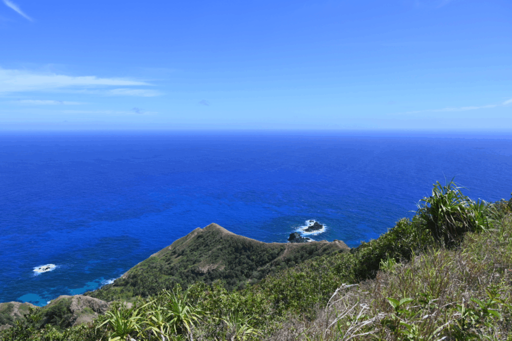
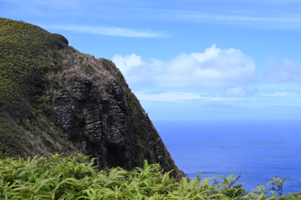
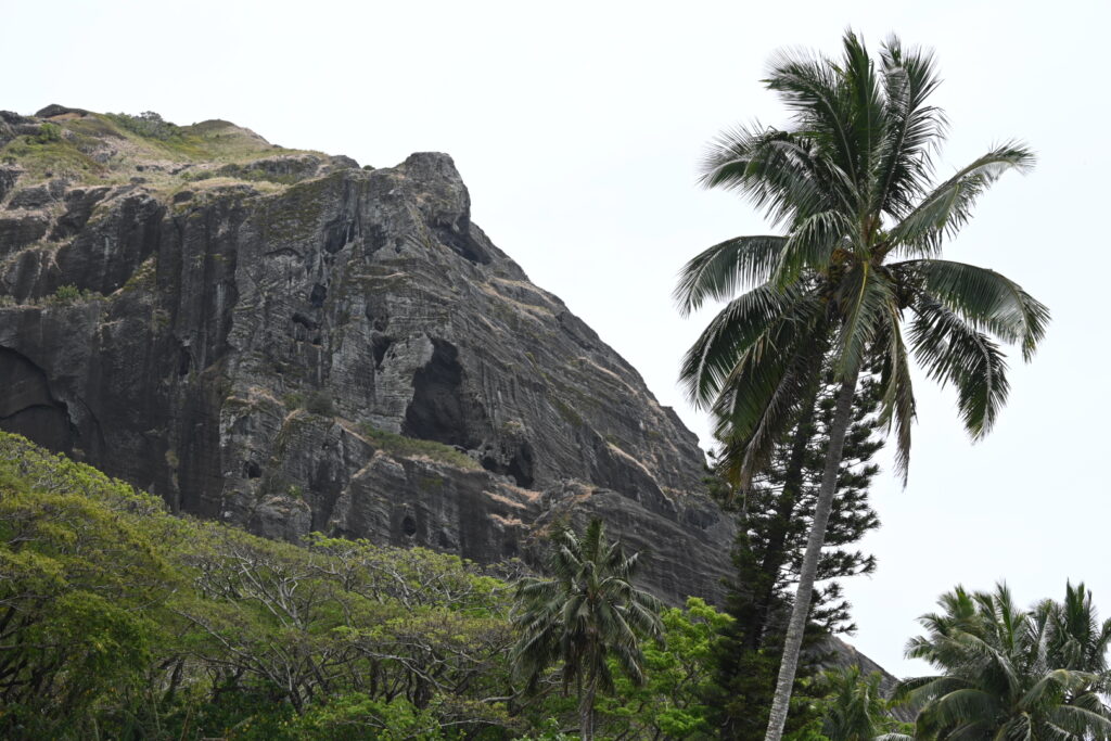
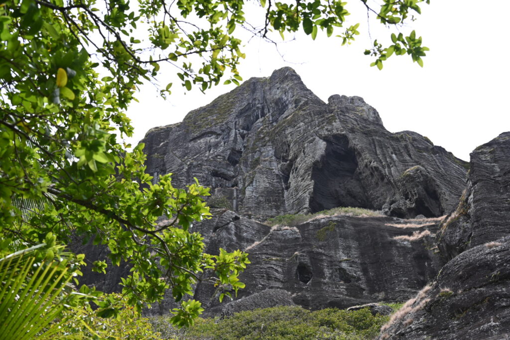
Looking out toward the east end of the island
The ship swung about, and we could feel the waves start to roll us from side to side. It reminded us of our fateful morning at Tristan D’Cunha. But it was out of our hands now. There was nothing else to do but head back to the room and finish prepping all of our gear.
Then the captain made an announcment – the conditions were considered operable, and so the day would be proceeding. (Though a small voice in the back of our minds reminded us that conditions can change at any moment.)
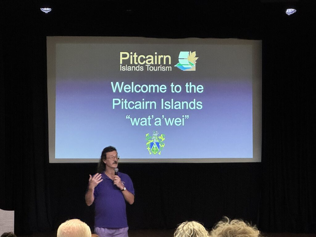
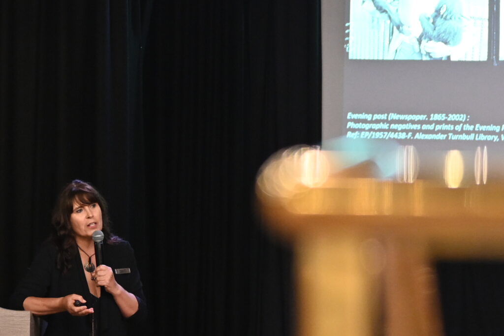
Off to the auditorium, where Pitcairn Mayor Simon Young gave a presentation regarding the island:
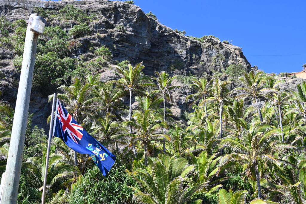
Simon noted that upwards of 10 cruise ships visit Pitcairn each year, but only 3 to 4 of them manage to land passengers. The combined territory – along with Henderson Island, Oeno Island and Ducie Island – make up the third largest marine preserve in the world.
There are 45 island residents at the moment, and they are actively recruiting others to relocate. The workload is such that everyone is wearing multiple hats – the nurse is also the deputy postmaster and procurement officer.
Supplies from New Zealand arrive 4 times a year from aboard their ship – the Silver Supporter – while there are 26 yearly trips to and from Mangareva, which has the nearest airport. There are holiday rentals on the island, and stays are generally from 4 to 11 days to coincide with the arrival / departure of the Silver Supporter.
All homes but two have solar power, which has reduced diesel consumption by 70%. They get their fresh water from rain water, which is held in cisterns at each house. They have a yearly holiday on January 23rd – Bounty Day – in which they burn an effigy of the Bounty, commemorating the decision to burn the actual Bounty and settle in Pitcairn.
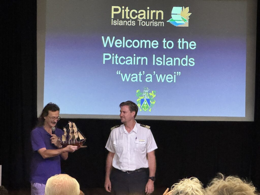
Simon also presented Captain Freddie with this beautiful model of the Bounty:
Lastly, the mayor cautioned us not to swim in St. Paul’s pool as the conditions are expected to be unsafe today due to high sea levels. Ah, well – we’re still planning to make the walk down there and see how everything looks.
Back to the room for a few minutes to finish packing, and then we got the call for the Extra Strenuous Hikers. A brief delay as the expedition staff had forgotten to open the door on deck 3, and all of us were too polite to open it ourselves! But they figured it out soon enough.
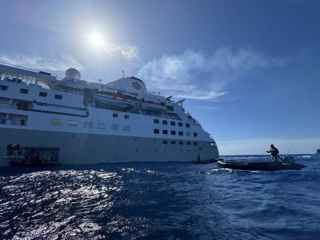
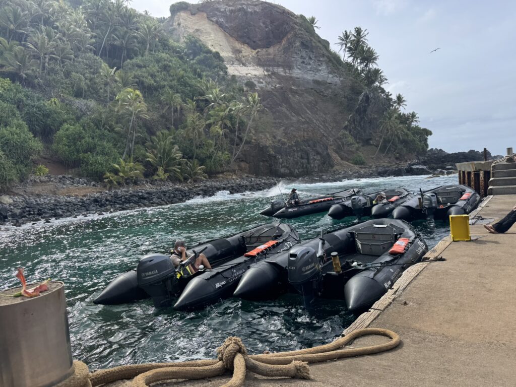
Conditions were rough on the way in, but our zodiac driver did a fantastic job ‘surfing’ us in on the swells:
And just like that, we were ashore – touchdown Pitcairn!
One of the Pitcairn taxis, awaiting passengers
It felt incredible to be ashore after so many days of wondering, waiting, and doomscrolling Windy. We always knew that it was possible that we might miss a landing – indeed, it should be expected on a voyage like this! – but we wanted to make Pitcairn most of all. A weight lifted off of us, and we began to get truly excited for the full day of actvities that lay ahead.
Soon all of the Extra Strenuous Hikers were ashore, and it was time to finalize plans – which proved to be more complicated than ‘let’s go for a hike’. Hike Leader Todd was not impressed that some passengers had not brought water bottles with them. There would be water stations throughout, but he was concerned about the risk of dehydration given that this would be an 8 km, 3 hours hike. Eventually Todd decided that the water stations would be sufficient.
We further complicated matters by mentioning that we might split off from the hike at some point. Although we are allowed to explore the island freely on our own, Todd was still concerned about the risk of one of us getting hurt while separated from the Expedition staff. I noted that we had quite a bit of hiking and outdoors experience between my wife and myself, and that we also had a satellite communicator we could use if we ran into problems.
While it can be tough having to justify one’s plans, we completely understand why they need to ask these questions – indeed, part of what drew us to Silversea is the manner in which they empower their Expedition team to ensure passenger safety. Ultimately Todd was satisfied that we were sufficiently prepared for any contingencies that might come up, so we were able to proceed as planned.
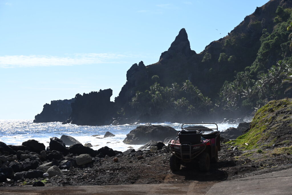
We started with the aptly-named Hill of Difficulty, which involved a 130 metre elevation gain in a mere 650 metre long hike. Though it did offer us some stunning photo opportunities:
All passengers were given tokens that they could exchange for ATV rides up and down the hill if they chose. (No helmets are available, though it is only a brief ride.) Some passengers also negotiated ATV rides out to some of the various landmarks, though they had to pay for those rides themselves – tokens were solely to be used for rides up and down the hill.
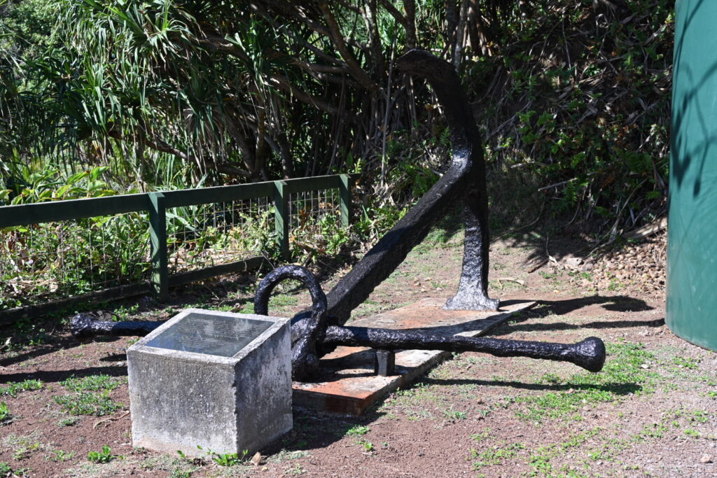
There was a brief stop for the first of the historical artifacts – this one the anchor of the Acadia, an American trading schooner which was wrecked in Bounty Bay in the early 1880s.
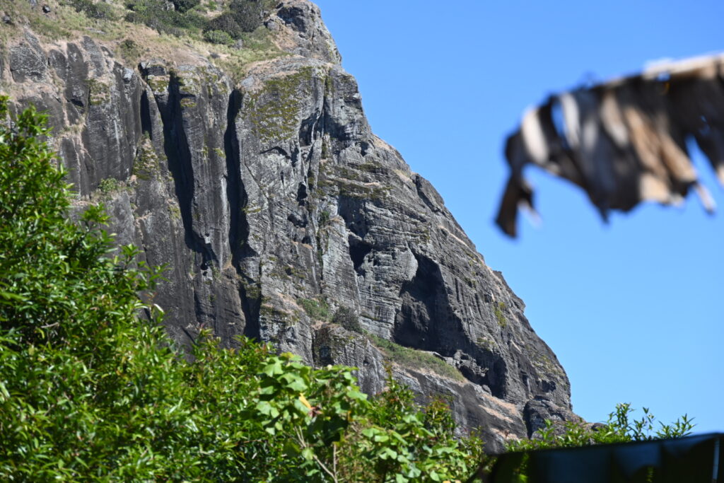
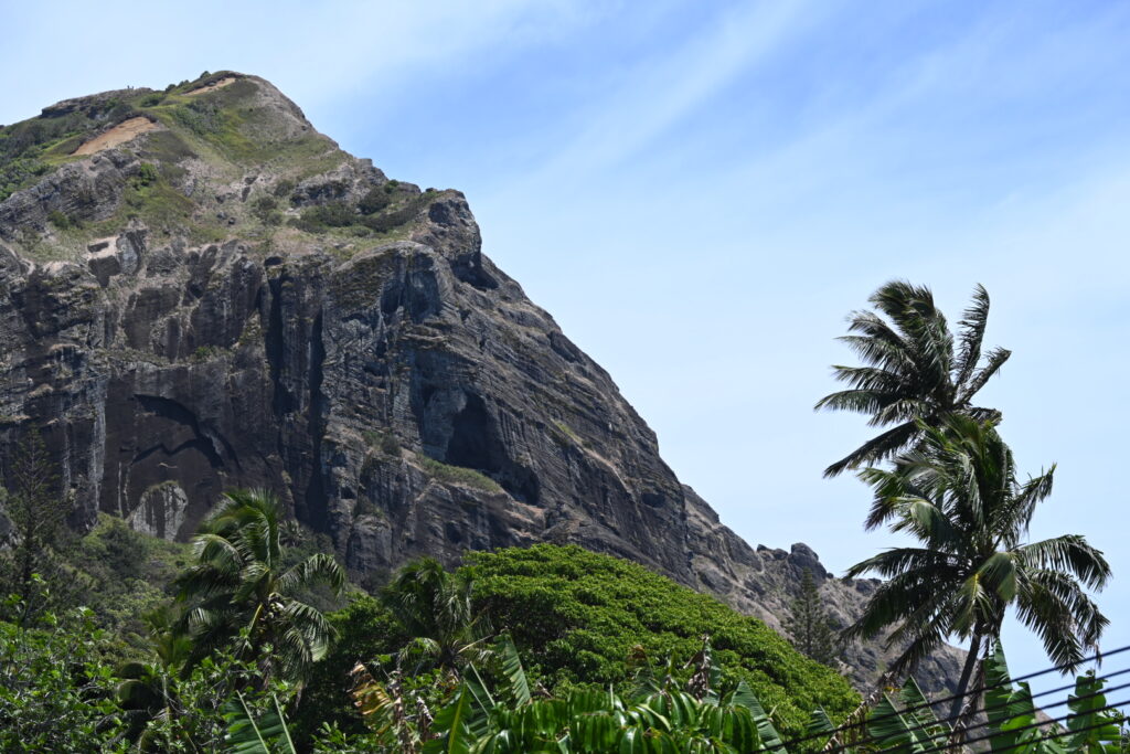
Onward and upward – passing a viewpoint that looked out over Christian’s Cave as we went:
The pass up there has often been closed during previous visits. Even from here, it’s easy to see why they would insist you only make that journey with a local guide.
We continued climbing up, up, up – the road grew steep at time, and concrete gave way to a dirt track. Nick, Todd and Dympna all did a tremendous job of keeping everyone energized and motivated, adding historic and botanical facts as we went. By about the 40 minute mark we had already gained 260 metres worth of elevation.
Quite a few people also asked the Expedition staff for electrolyte tabs – so if that’s something you take when hiking, then I’d recommend you bring your own supply. And your water bottles!
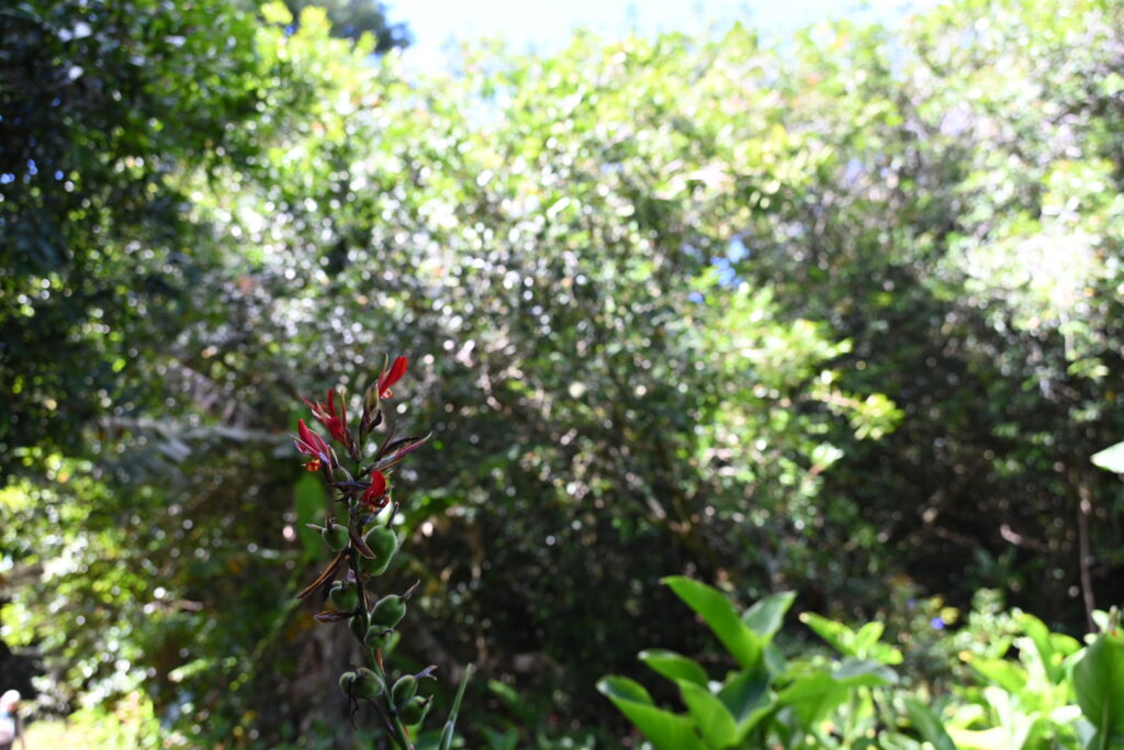
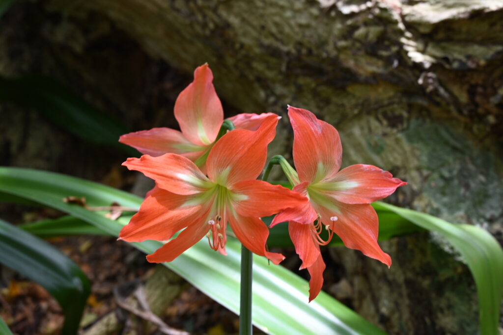
Some beautiful flowers along the way:
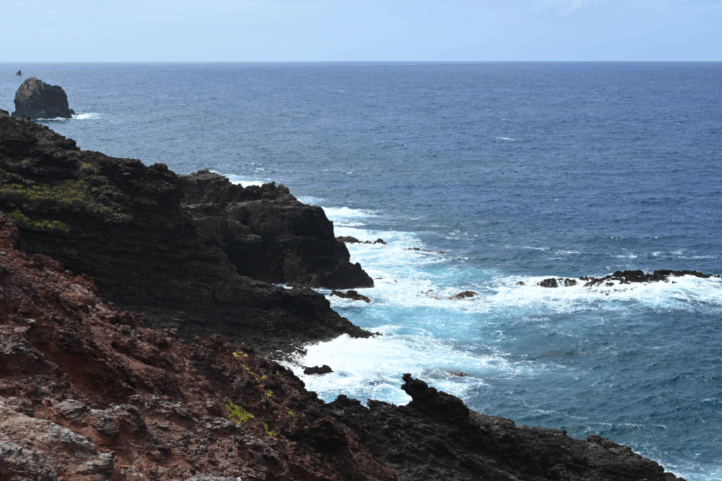
And some stunning views of the south side of the island as we reached the ridge:
And the north side, too:
Then… we reached the highest point on Pitcairn:
We took a brief break to drink some water, and Dympna took everyone through a stretch and some deep breathing to shake everything out after a challenging ascent.
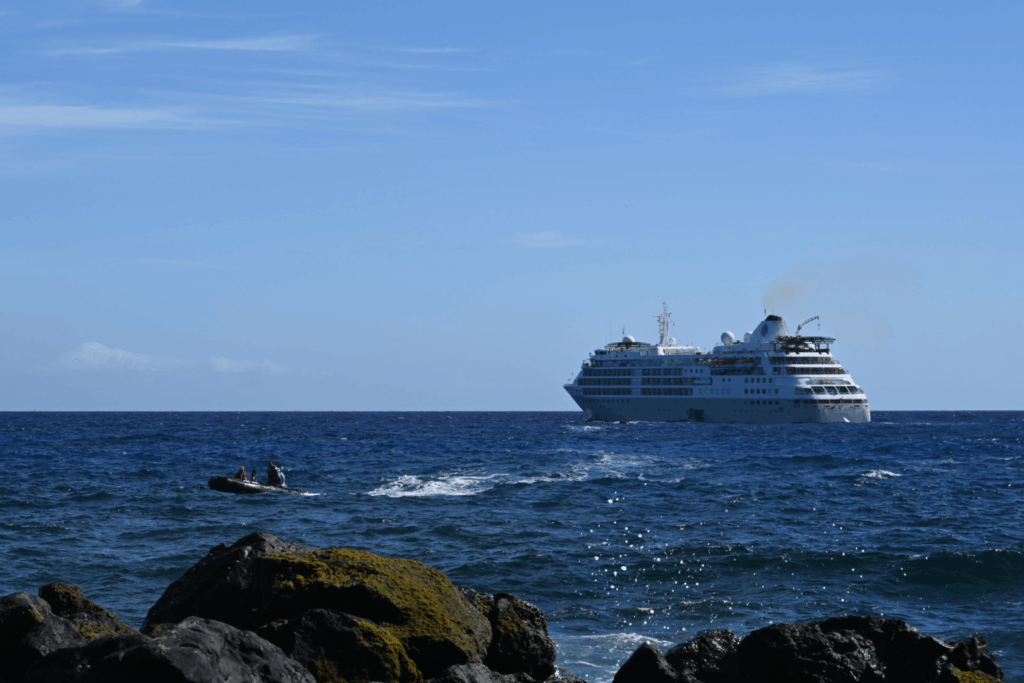
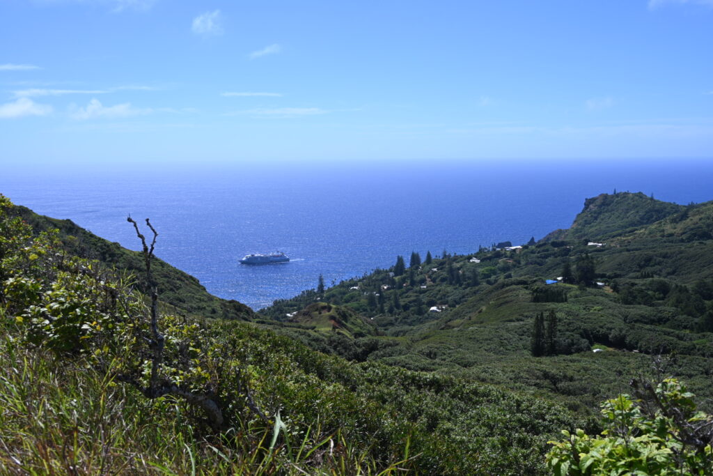
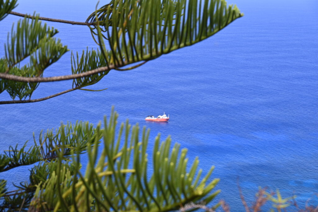
I grabbed a few more photos, including ones of the Silver Supporter – Pitcairn’s resuppy vessel:
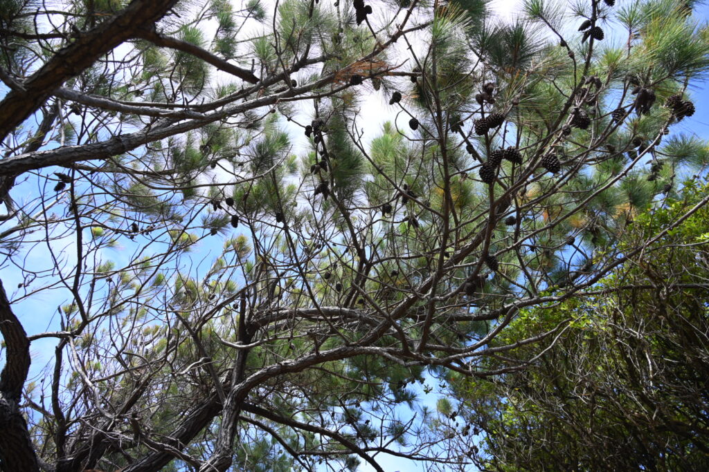
And the local plants. There’s a tremendous variety here, from pine trees:
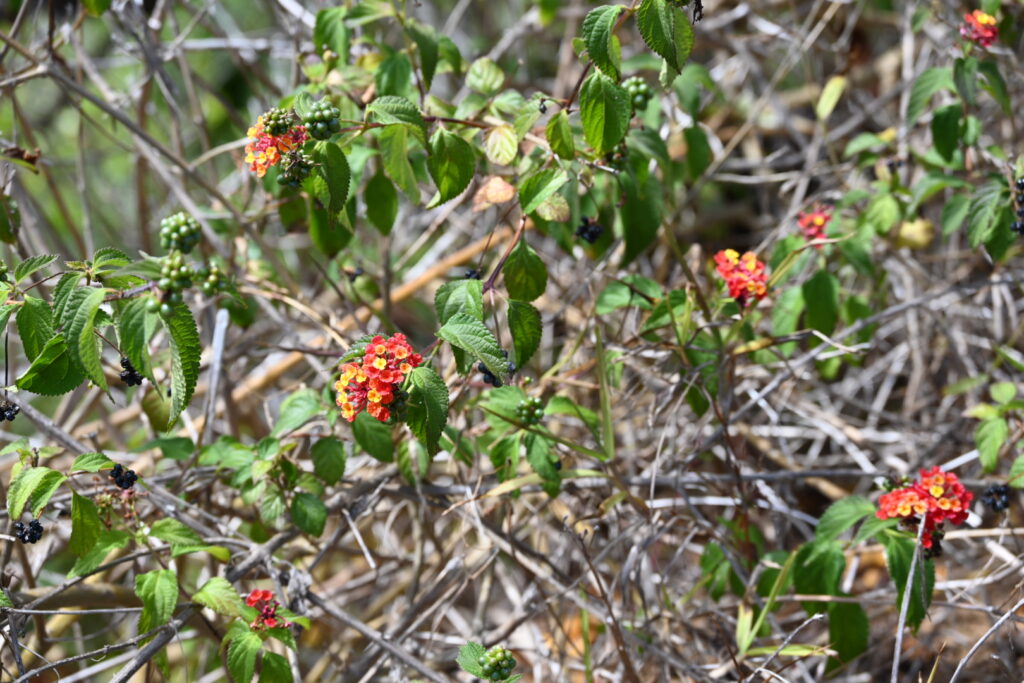
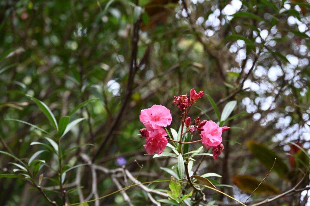
To flowers:
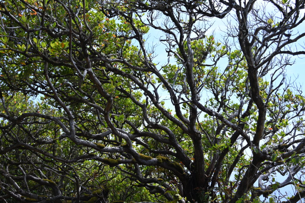
To more invasive species:
The rest of the Extra Strenuous hike was set to loop around the south end of the island, heading down to the shoreline before reaching the St Paul’s pool. Rather than take that circuitous route, we instead elected to head back to the village so that we had a bit of time to shop and explore on our own before lunch.
We informed Todd of our plans along the way, and then set out – enjoying the scenery along the way:
If I’d been thinking, I would have downloaded an offline version of Google Maps for use while we were on the island – none of the cellular systems there worked with our eSIM. But we also enjoyed the challenge of navigating by map alone.
We ran into one couple on our way back to the village who said that they had run into Miz T, the Galapagos giant tortoise that lives on Pitcairn:
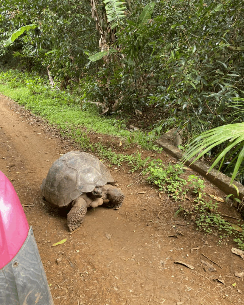
Image Credit: Pitkern Islen Enterprises
Miz T was originally named Turpin. This was shortened to Mr. T until a visiting zoologist determined that she had been misgendered.
We made plans to keep our eyes out for her during the return trip!
We did spot what an interesting-yet-unknown bird on the way down:
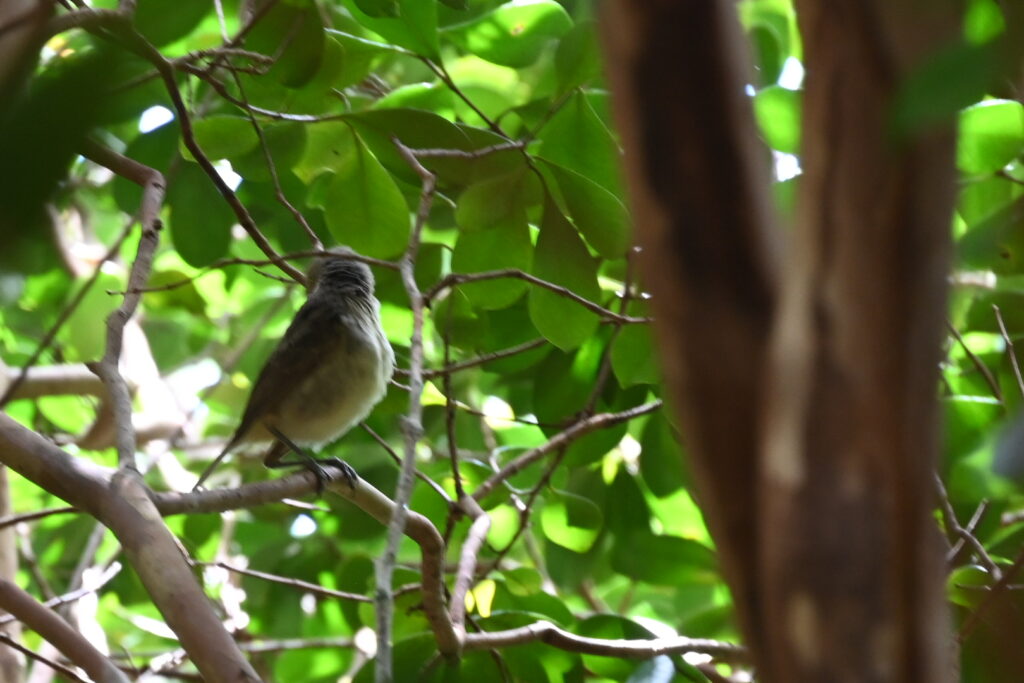
I’ll have to ask Birder Extraordinaire Malcolm for help with identification but we’re pretty sure it’s the Pitcairn Reed Warbler, an endemic species.
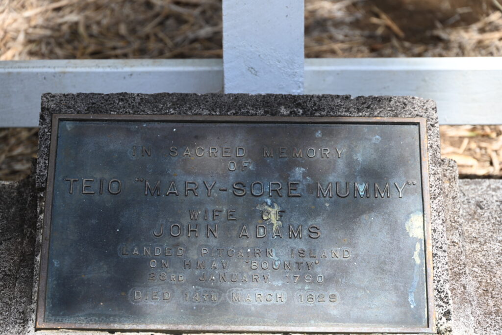
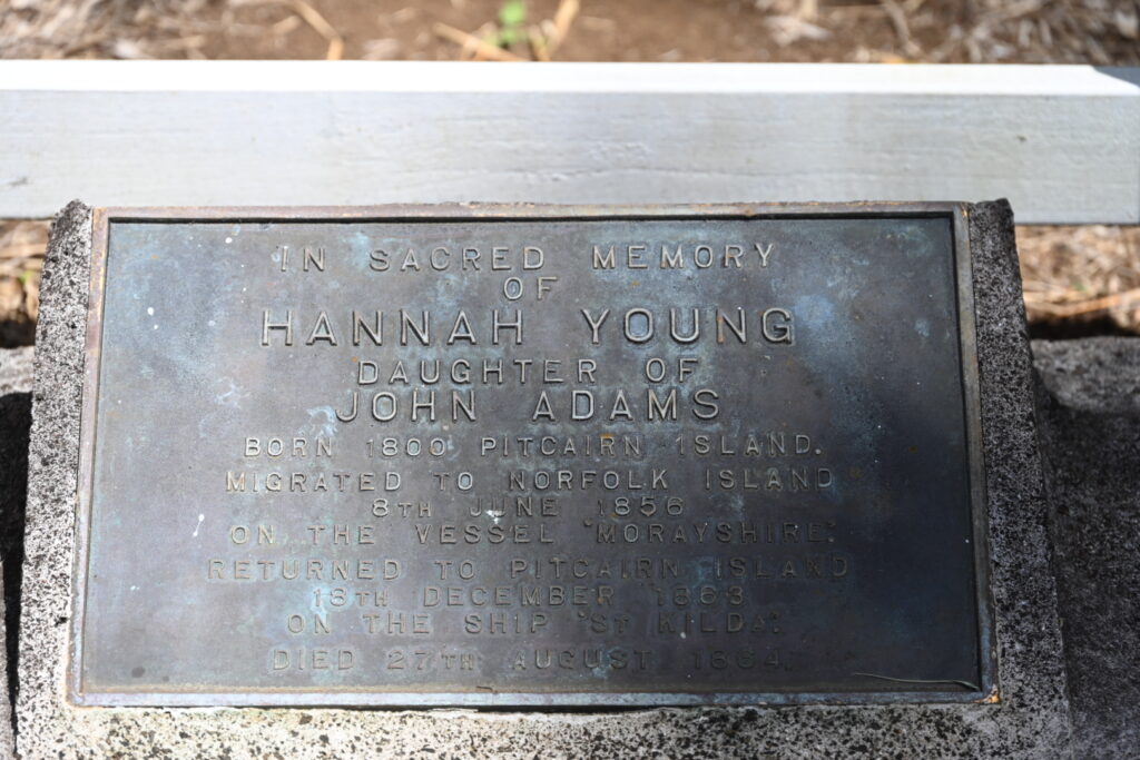
On the way back to the village, we also passed by John Adam’s grave:
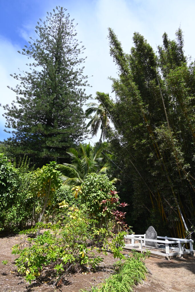
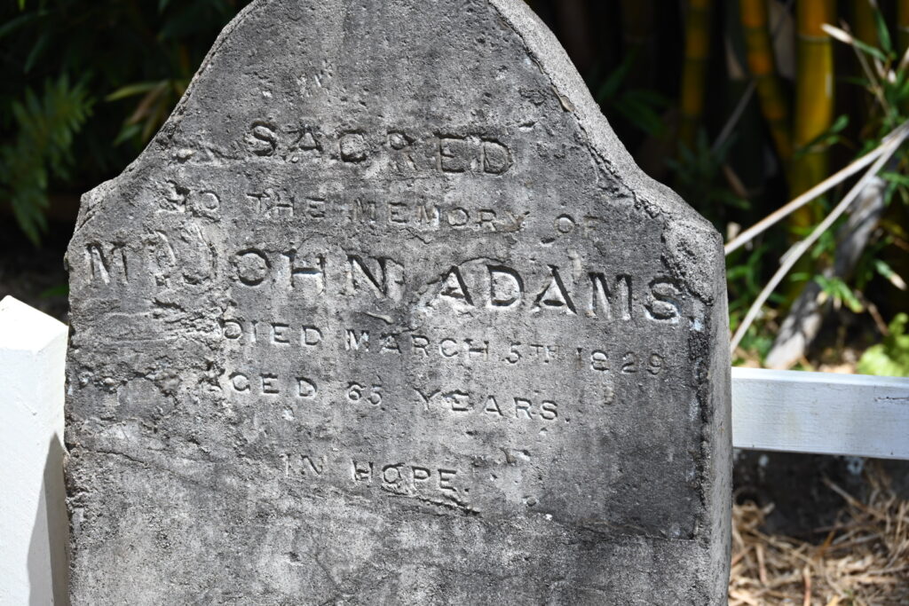
John Adams was the last surviving Bounty mutineer. The leader of the mutiny – Fletcher Christian – separated himself from the others following their arrival, spending a significant amount of time at his cave (Christian’s Cave).
There was allegedly a falling out amongst the settlers – particularly between the crew and the Polynesians – which led to most of the men being murdered, including Christian’s. John Adams – along with the surviving women and children – took a leading role in establising the settlement that would become known as Adamstown.
Adams’ wife and one of his daughters are buried at the same grave site:
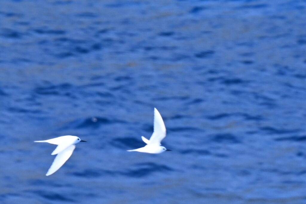
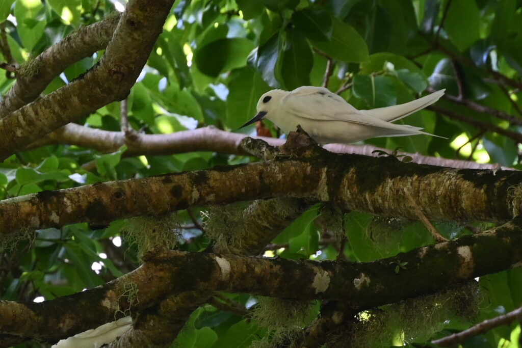
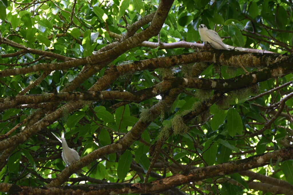
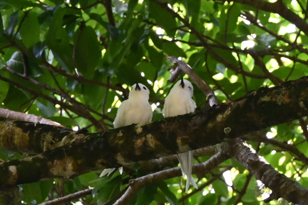
We carried along toward Adamstown, spotting some terns as we went:
And getting another view of Christian’s Cave:
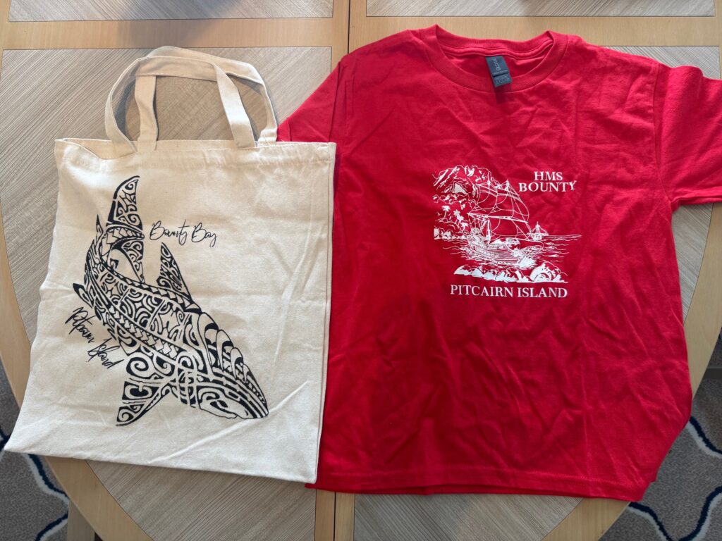
We did a bit of shopping, buying a T-shirt and tote bag:
As well as some stamps and postcards – which will take at least six months to get to Canada!
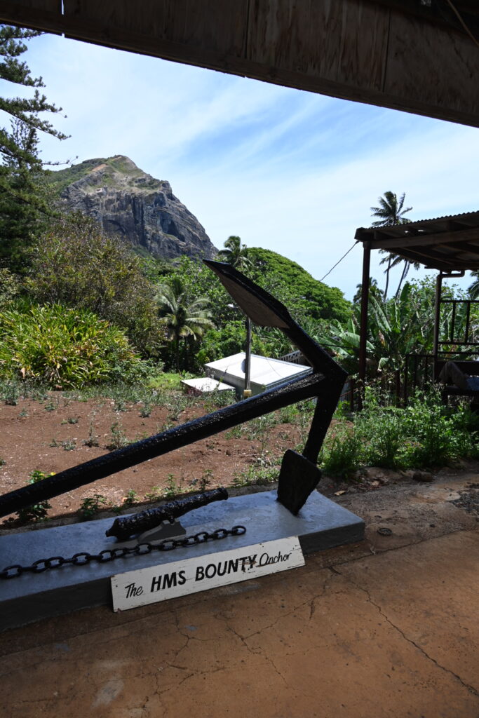
We then went off to the town square where we spotted the Bounty’s anchor:
Taste of Pitkern had set up a stall selling milkshakes, drinks and ice cream so we bought milkshakes for the kids. Our son had vanilla, and our daughter had a mix of chocolate and spearmint which she quite enjoyed. I had a cup of strawberry ice cream, which was well worth the $2 pricetag.
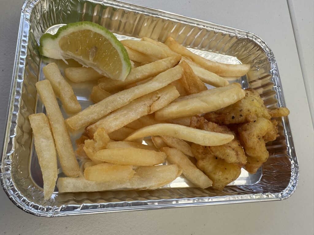
Lunch time! The Pitkerners served up a delicious meal of fish and chips:
There was a bit of wait for the food for most of the passengers, though we’d got there early so we didn’t have long to wait – though there was something of a misunderstanding with a fellow passenger who motioned for us to go ahead of her. Apparently this gesture was made sarcastically as she thought we were ‘barging ahead’ – or so it sounded from grumbling behind us.
We would have gladly let her go ahead of us had she asked, but she did not – and by that point we were being served (and her a few moments later). Ah, well. You can’t please everyone.
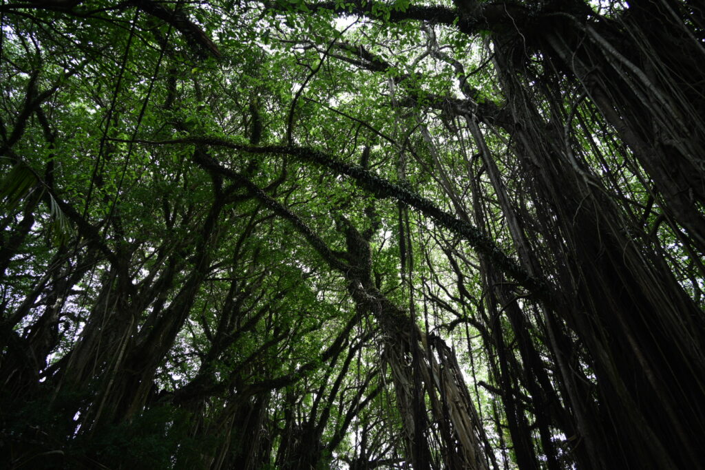
Off through the EcoTrail, and to get a closer look at Christian’s Cave, which provides a walk through Pitcairn’s native and endemic species:
Getting closer to the cave:
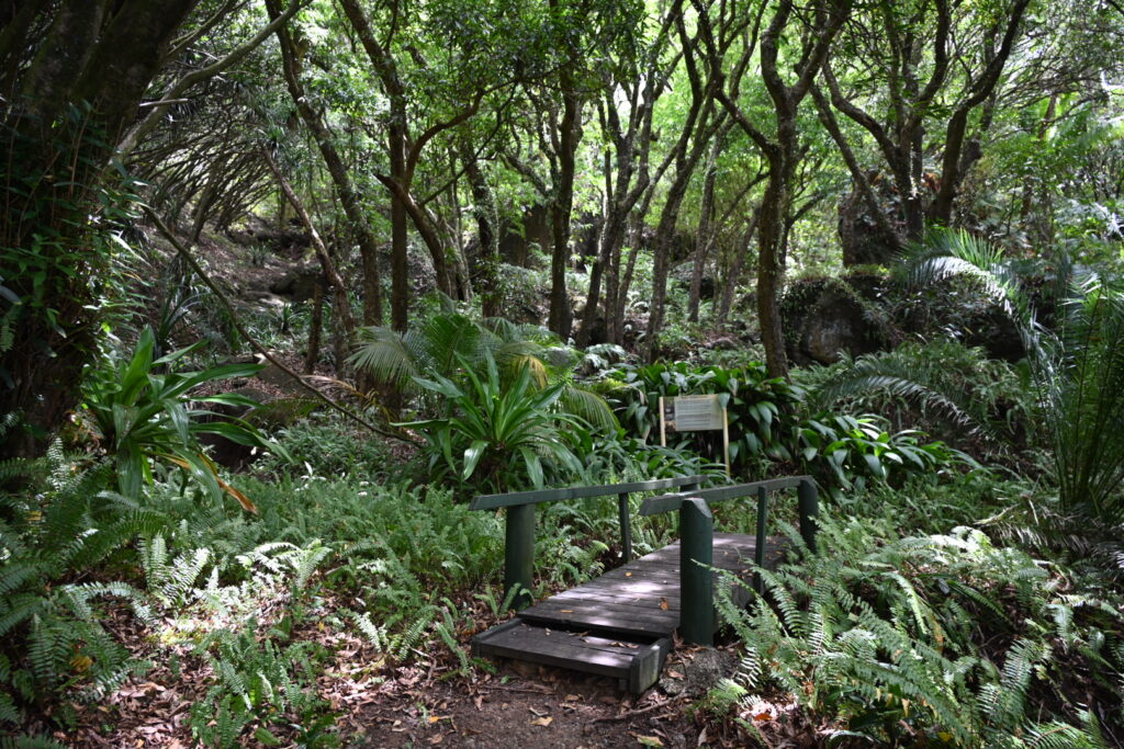
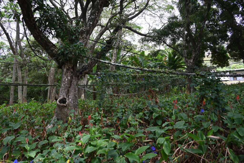
There were also some beautiful local gardens along the way:
One last glimpse of Christian’s Cave:
And it was time to head back so we could make our way to St Paul’s pool.
We spotted some more birds along the way:
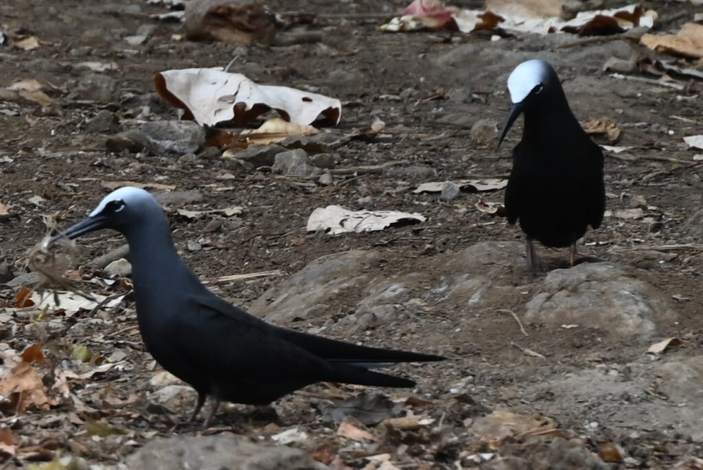
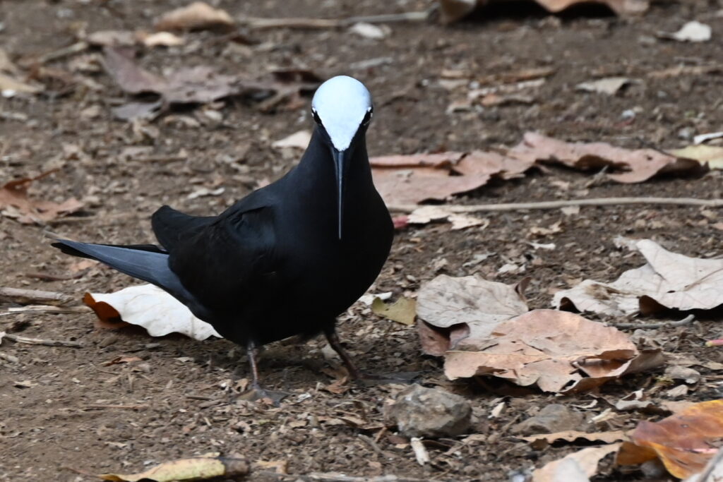
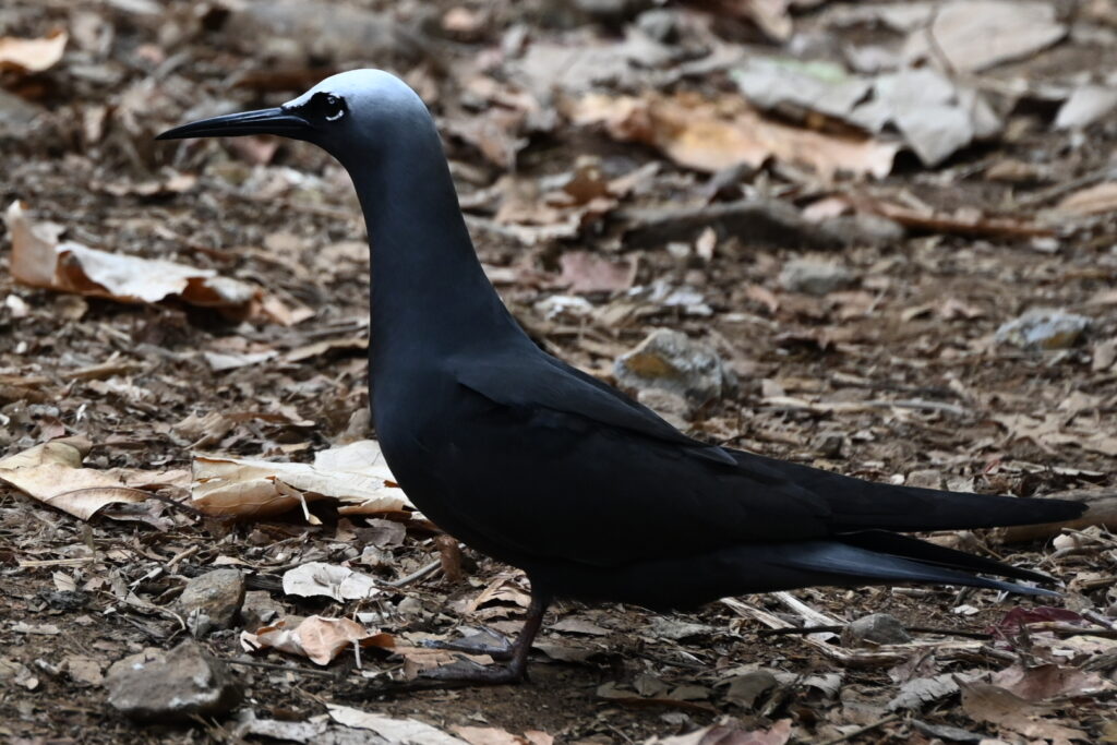
These appear to be black noddies.
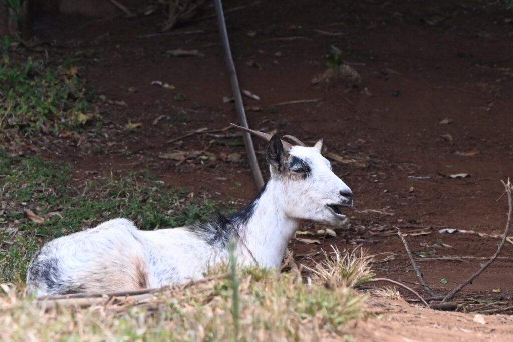
Back up the hills once more, spotting some goats along the way:
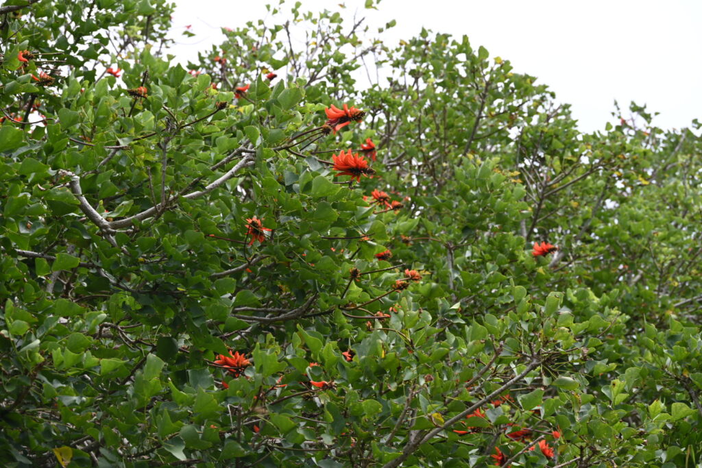
And admiring more of the local flora:
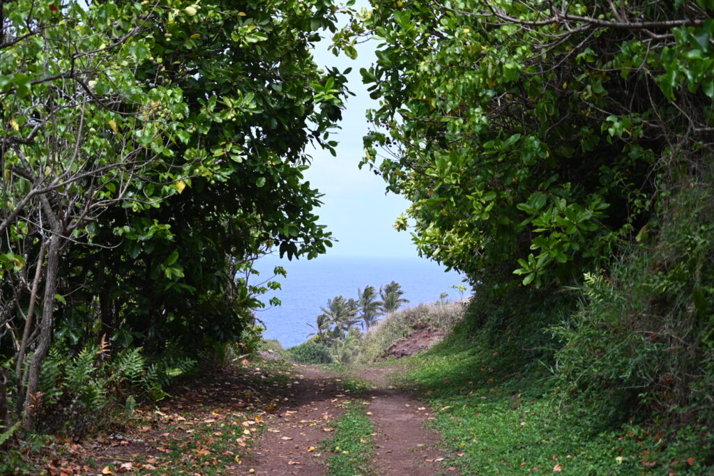
Eventually, the western edge of the island came into view:
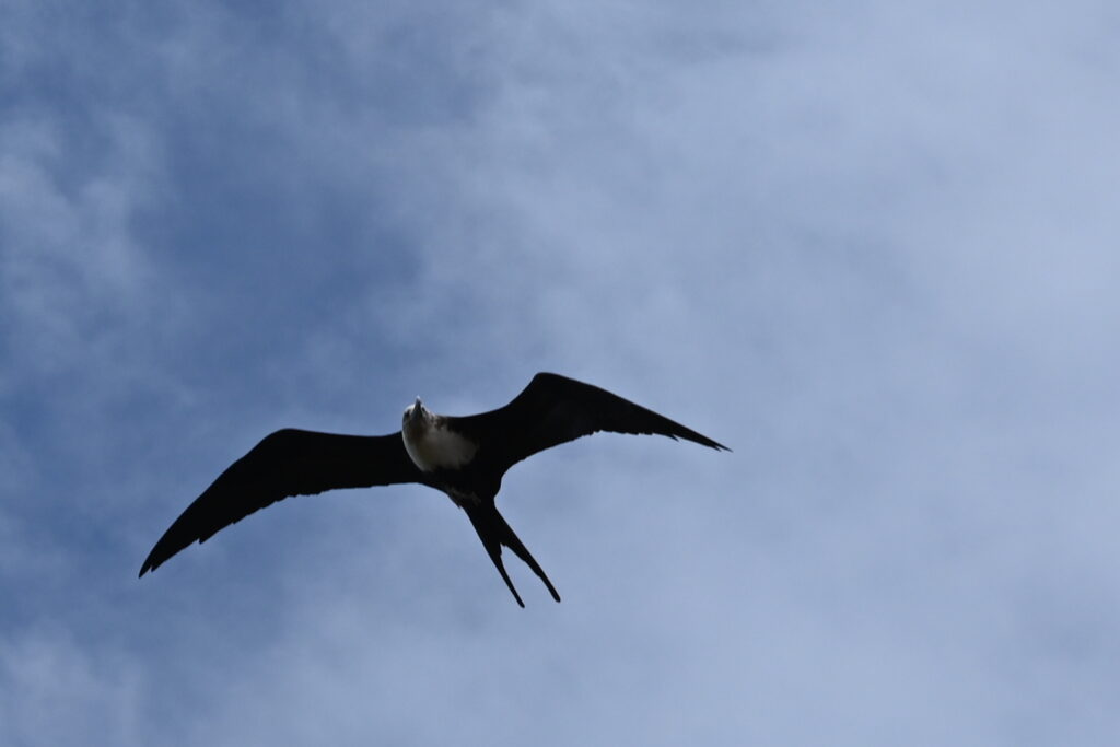
Along with some patrolling frigate birds:
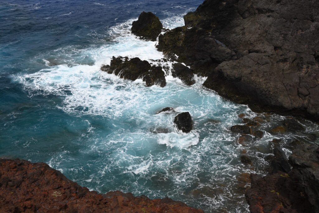
More stunning scenery:
And – following a steep and slippery descent – St. Paul’s pool came into view:
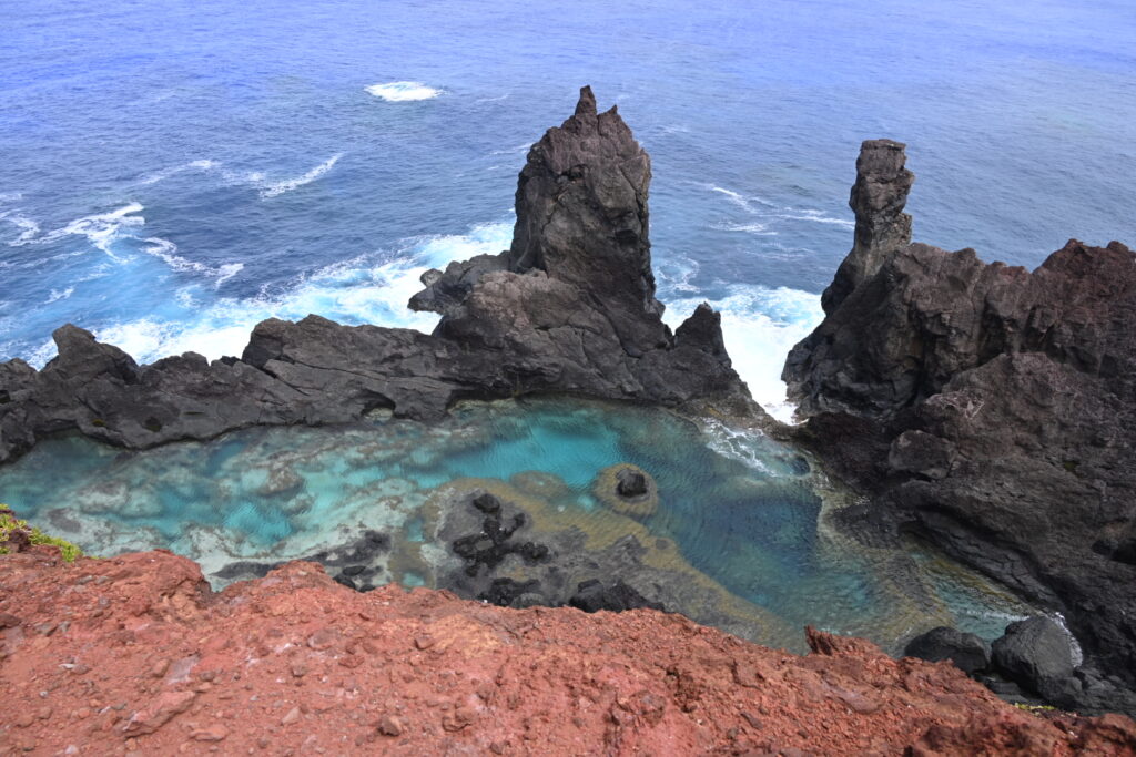
We reached a staircase that took us closer down to the pool. The swells were heavy, so we could definitely see why they suggested we avoid swimming today:
The very last section was steep rock, which took a bit of care to descend:
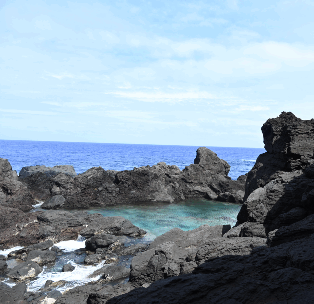
You can see the rocks at the edge of the shade – that’s essentially what you’re climbing to get down to the pool. But eventually we made it!

We found it interesting to see that there was also a blowhole in one corner of the pool:
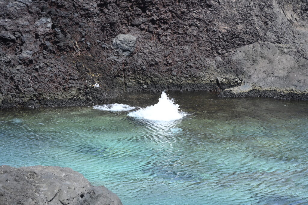
The air must have been pushed in by the pressure from the tides.
Back to the ship! This was a slog after already having hiked somehwere around 11 km, but we persevered. And there were more pictures to be taken:
We ran into Tyler along the way, who was attempting to reach the highest point on the island. I attempted to help him navigate, but at that point my map was starting to biodegrade – hopefully he made it with the directions he had at hand! (I did see him back on the ship later, so at least he wasn’t left behind.)
Back down the Hill of Difficulty, where the zodiacs were lying in wait:
The conditions had deteriorated, so Captain Freddy was in the process of moving the ship to make it easier to disembark the zodiacs. We waited perhaps five to ten minutes – long enough for me to send my victory message via our Zoleo satellite device – and then we were underway.
We got absolutely soaked during the return trip, but we weren’t bothered – after some 16 km of hiking, there were long, hot showers in our future regardless!
We also got to watch the Able Seamen building the sidegate zodiac platform, which was an interesting experience – albeit somewhat unnerving. Academically we knew that the sidegate was constructed each time it was lowered, but it’s different to watch it get put together like so much Ikea.
There were also a lot of Able Seamen out on the sidegate to help people back onto the Cloud – best estimate is around 7 or 8. There were 2 helping from within the zodiac, 2 at the stairs, and then at least 3 more waiting in reserve in case they were needed.
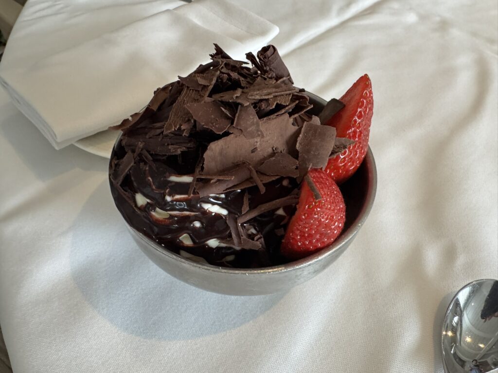
Back to our suite, where the children were treated to some room service dessert:
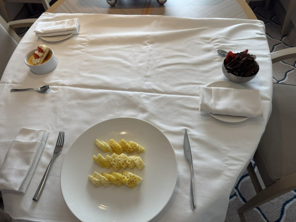
The creme brulee was good, but the triple chocolate sundae definitely stole the show:
My wife and I enjoyed a well-deserved glass of champagne out on our verandah. It was starting to finally sink in – we made it to Pitcairn! And we made it most of the way around the island!
(But not all the way around the island – though the passengers who told us about Miz T seemed to have managed that remarkable feat!)
Off to the recap and briefing – where we learned that unfortunately those who took the Christian’s Cave tour were not able to reach the cave itself due to the steep, hazardous terrain. That’s a shame, but probably for the best rather than risk injuring a passenger.
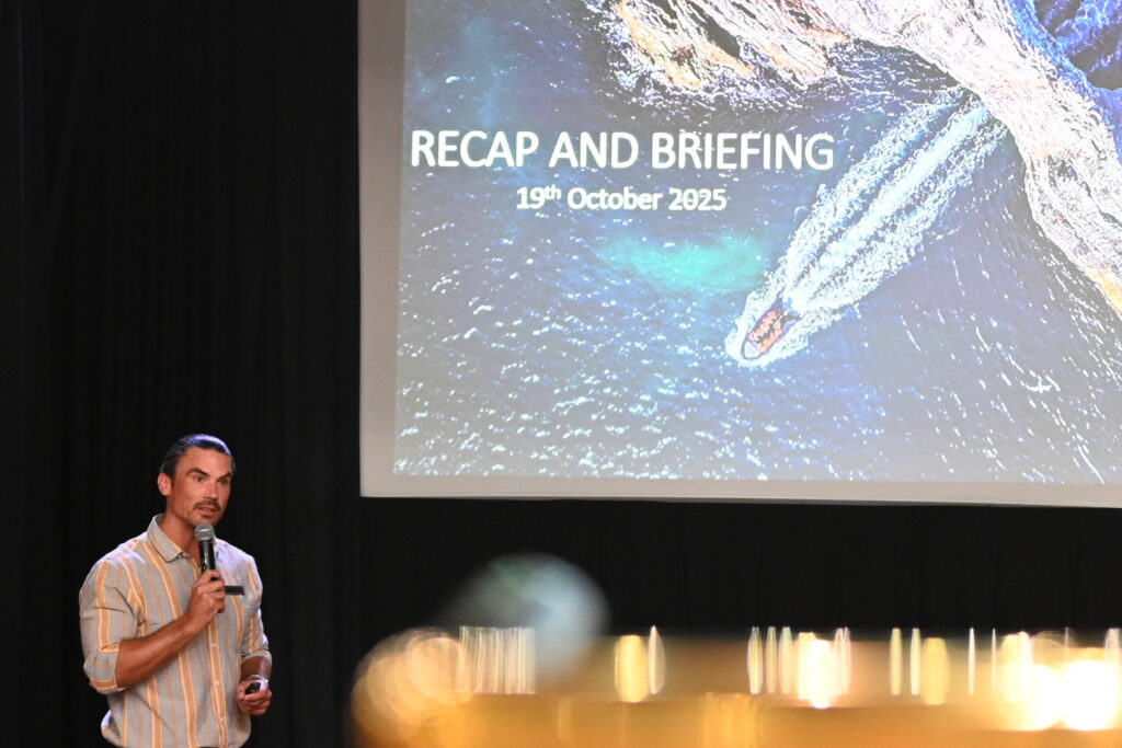
A huge round of applause for Peter as he asked how everyone had enjoyed their day – and an ever greater round of applause for the extraordinary efforts of the Able Seamen who got us on and off the ship.
And another welcome surprise – we will be doing a ship’s cruise of Henderson Island tomorrow! The day had previously been reserved in case we needed additional time to land at Pitcairn. Big thanks to the crew for adding in a new activity as opposed to simply stretching out the sea voyage to Rapa Nui.
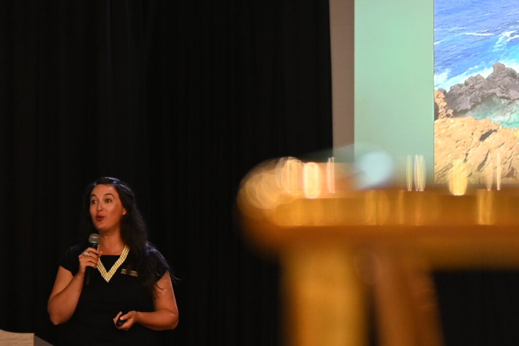
Samira gave a presentation on tapa cloth:
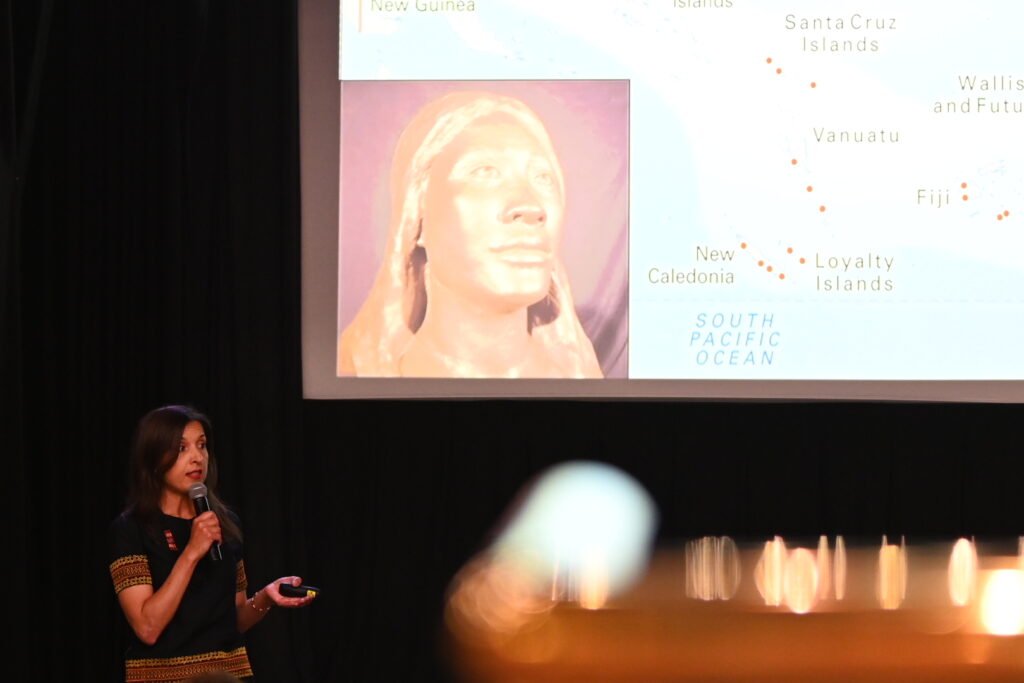
It was interesting to learn that – after tapa being one of the major contributions of the Polynesian women to the Pitcairn community – it is now being rediscovered and relearned among members of the community. I was also surprised to learn that a range of plants can be used to make tapa, including mulberry, breadfruit, and banyan trees.
Alex then delivered one of the most hilarious, intriguing, bizarre presentations I’ve seen yet:
It was about Moko the chimpanzee, who made it to both Henderson and Pitcairn Islands as part of his very strange life with Robert Tamarchin. Tamarchin claimed his stay at Henderson was unplanned, and yet he had a huge cache of survival equipment. He was taken to Pitcairn, and later evicted by the government after he began drawing undue attention from the island’s female residents – but he was forced to leave without Moko.
Tamarchin then embarked on a series of misadventures to recover his chimpanzee that included stowing away on a Tahitian freighter and suing an Australian newspaper for libel – and winning. You can find a partial retelling of that story here.
Sarah then delivered a presentation on cryptogambic soils, whihc are essential as an eco system engineer. They aid with nutrient and moisture rentention, erosion control, and act as a habitat.
To help remember all this, Sarah penned a helpful song (to be sung to the tune of the Flintstones theme):
Tiptoe past the crypto,
It’s a thin biological crust.
Filamentour moisture retention,
It’s being fed by spores raining from above.
Dinner with Scuba Leader John at La Terrazza tonight – which was very tasty, but which we did not photograph. He recommended we look at North Sulawesi, Indonesia as a future snorkelling destination. He also very much enjoyed the Darwin to Lautoka Silversea cruise, as the Silversea snorkelling team was able to lead a significant number of snorkelling stops (he thinks 16 snorkel excursions in 23 days).
The kids were also thrilled to learn that John plays Dungeons and Dragons – they’re hoping to recruit him for a future game.
Then off to bed – we are wrecked!
Continue reading Surf to Sand – French Polynesia to the Atacama – Henderson Island – Day 19.